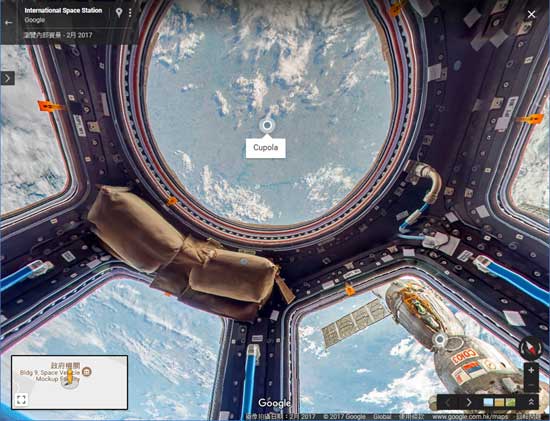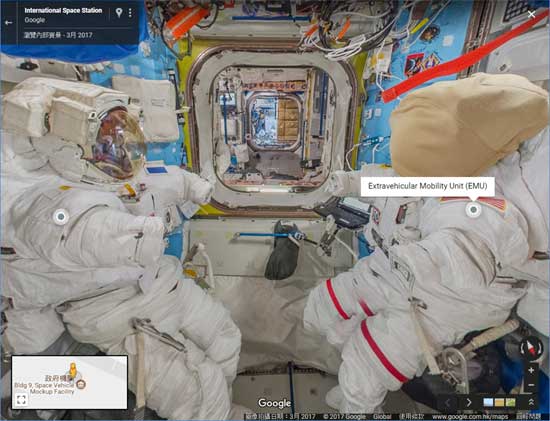
Google 街景圖已經去過很多不同的地方,古蹟, 海底, 雪山, 節日慶典等都有街景圖,可以讓大家妨如置身現場一樣。最新 Google 街景圖又有新突破,就是國際太空站街景圖。
今次是 Google 跟歐洲太空總署合作,並由歐洲太空總署的太空人 Thomas Pesquet 於今年上半年進行。整個國際太空站街景圖由十七組圖組成,展示了太空站內各個艙的不同部份,亦由太空艙內從太空回看地球。在街景圖內亦特別做了一些標記,並附有詳細文字說明作介紹,會介紹太空人資料, 食物, 以至正在進行的實驗。

The mission was the first time Street View imagery was captured beyond planet Earth, and the first time annotations—helpful little notes that pop up as you explore the ISS—have been added to the imagery. They provide additional information or fun facts like where we work out to stay physically fit, what kind of food we eat, and where we conduct scientific experiments.
這個街景圖是一個很好的科學資料,不妨細心看看多認識太空站是怎樣。下面就是國際太空站的街景圖連結。
https://www.google.com/streetview/#international-space-station