在 Google Photos App 內設有搜尋功能,可以輸入物件, 地點等搜尋相關相片,現在 Google Photos 正在開發一個新功能,可以讓用家以地圖形式檢視相片。

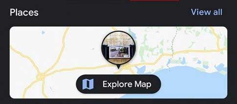
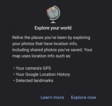
XDA 網站就貼出了這個名為 Explore Map 新功能的截圖。地圖功能設在搜尋貢內 Places 之下,首次使用會有提示彈出,寫著 “Explore your world”。

Relive the places you’ve been by exploring your photos that have location info, including shared photos you’ve saved. Your map uses location info such as:
Your camera’s GPS
Your Google Location History
Detected landmarks
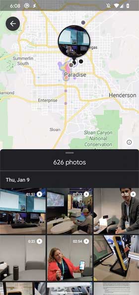
地圖會依據附有位置資料的相片整理出曾經到訪過的位置,當中亦會包含分享相片。地圖功能除了會使用相片位置和位置記錄資料外,也會偵測地標建築以作識別。地圖上會以不同的顏色做標記,就如一個 Heat Map 般,畫面下半部就會列出相關的相片。

這項 Explore Map 功能據知在最新 Google Photos v4.52 內附有,但就未開啟予用家使用。